Masterpage
MASTERPAGE
HOME GO TO CLEOPATRA BEACH AND THE ANCIENT RUINS OF KEDRAI
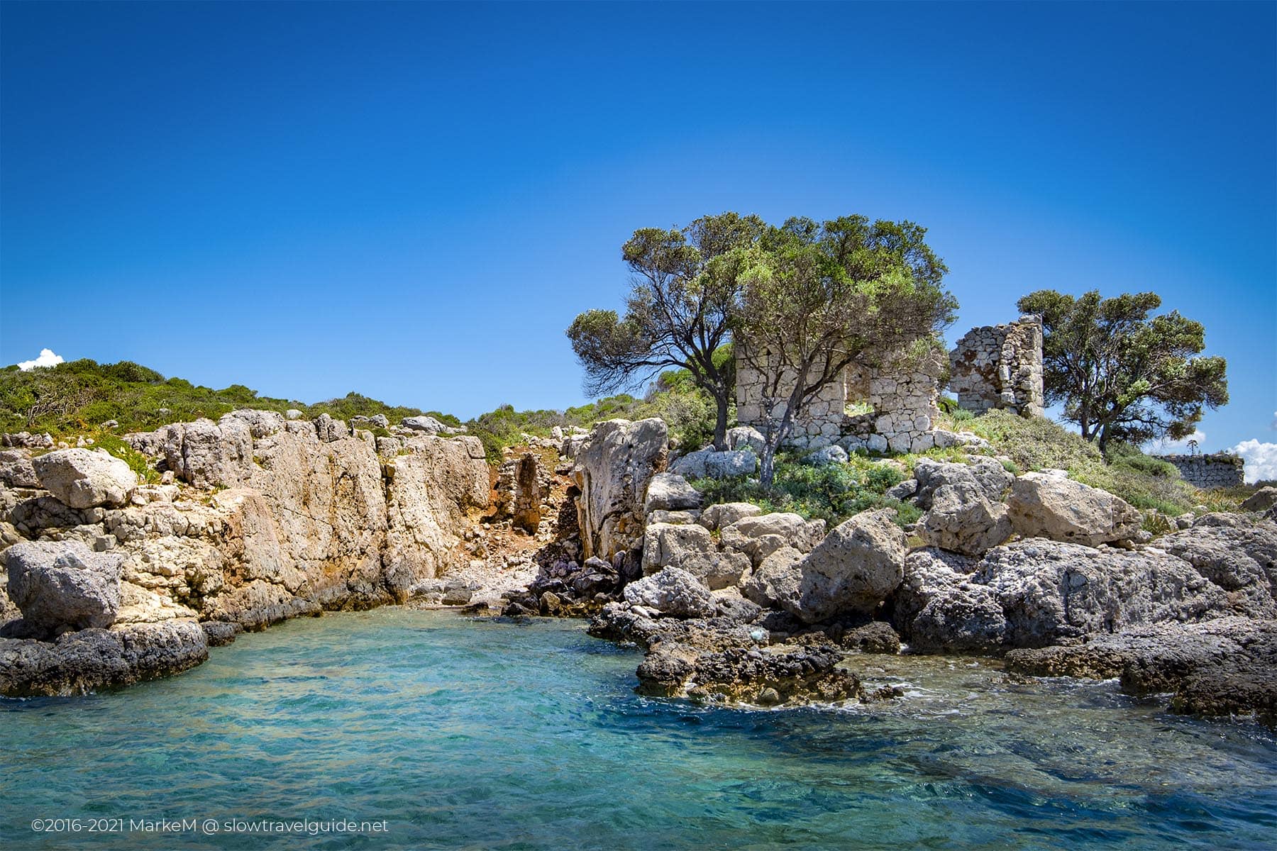
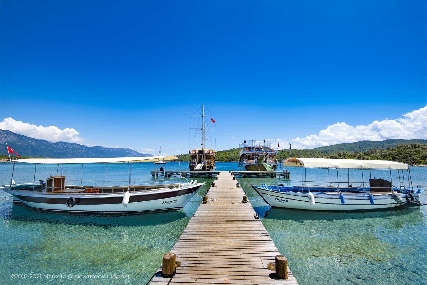
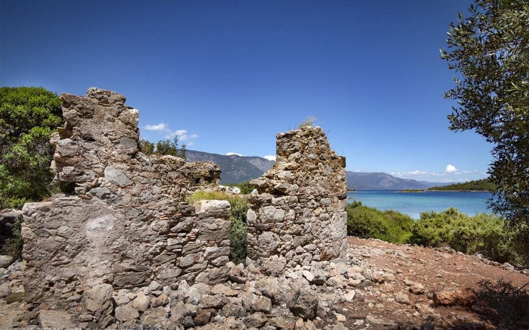
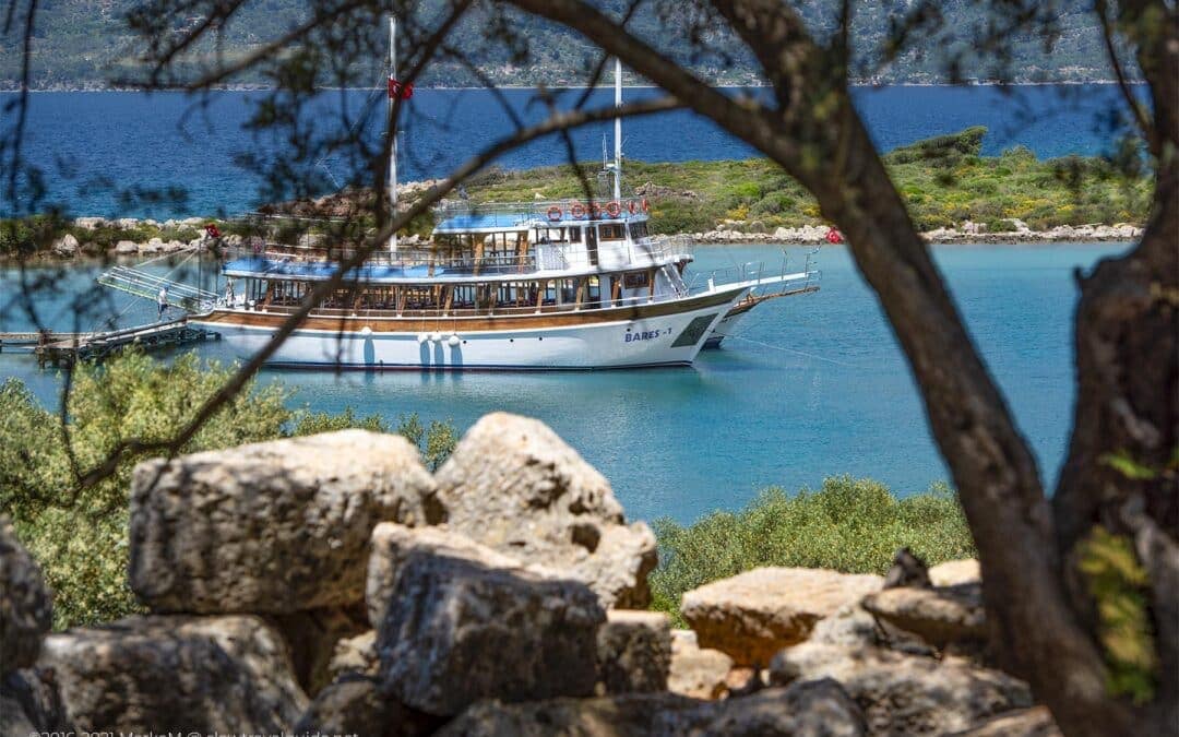
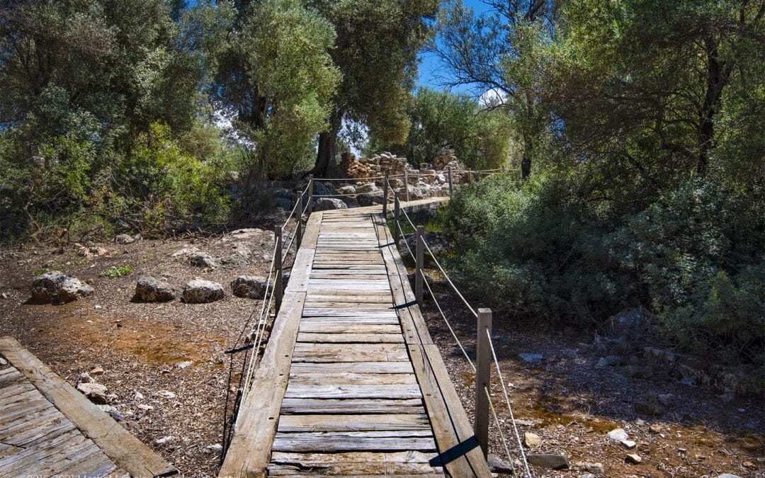
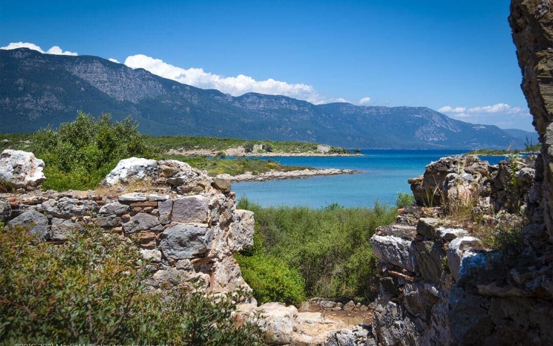
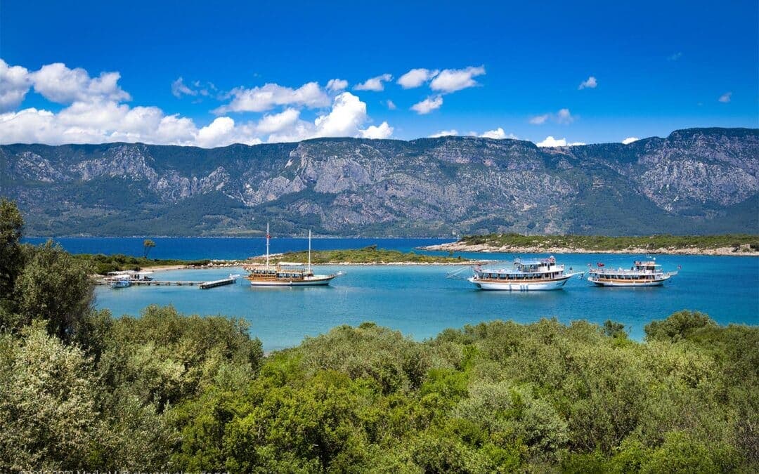
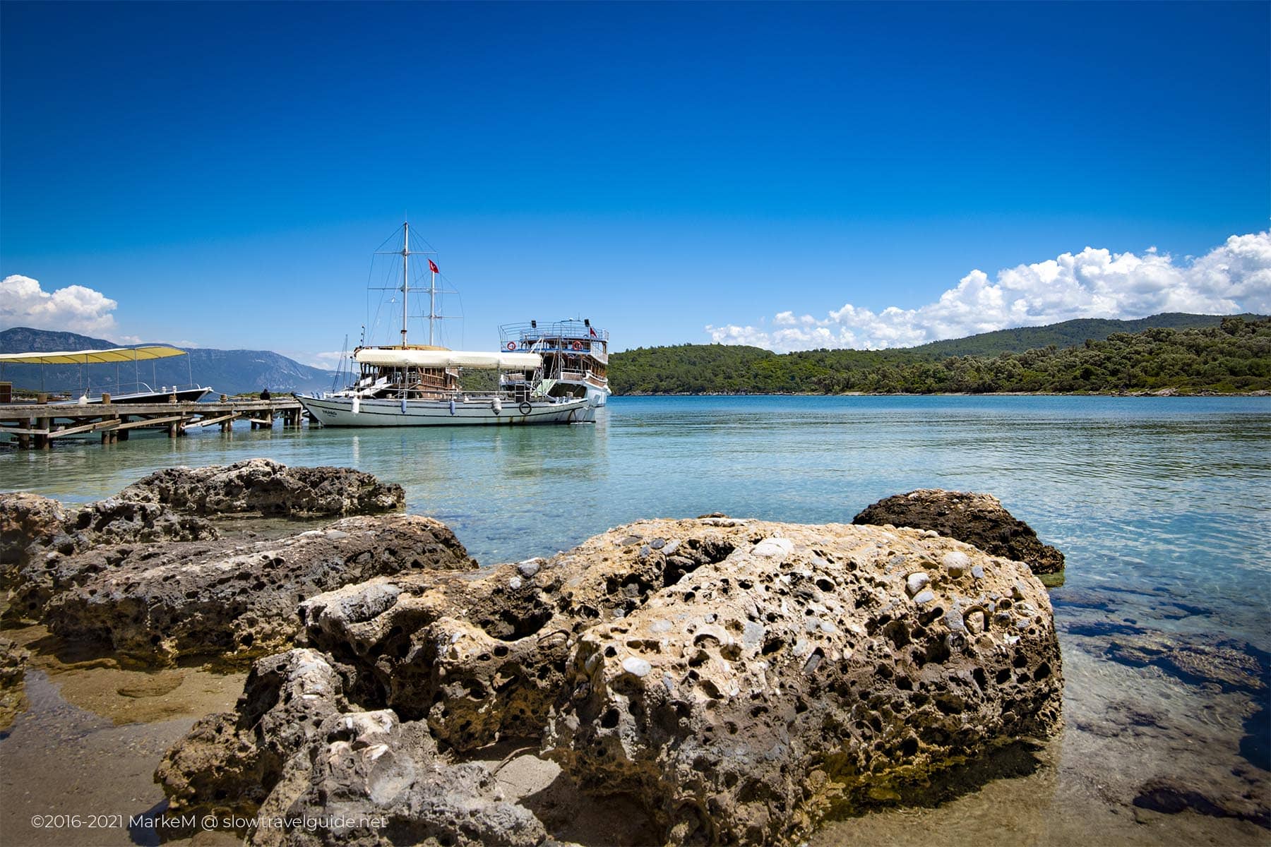
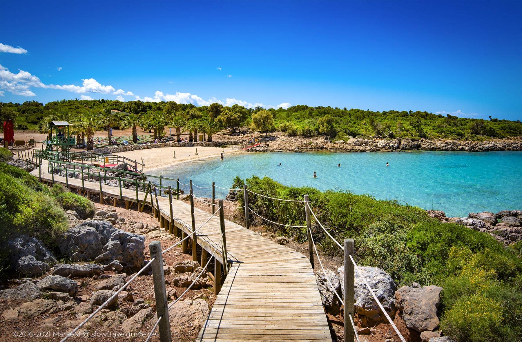
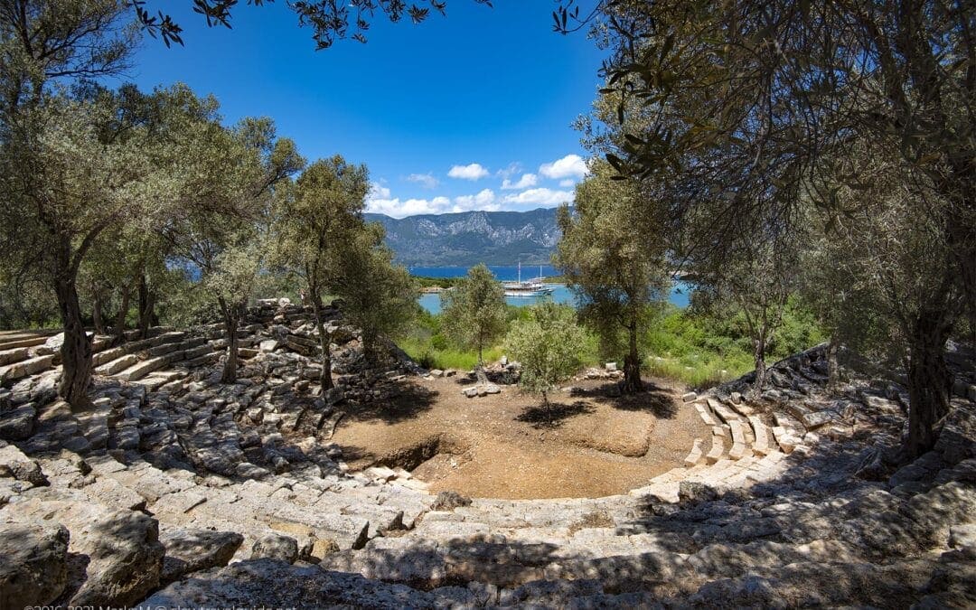
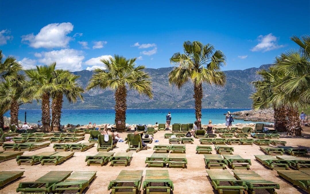
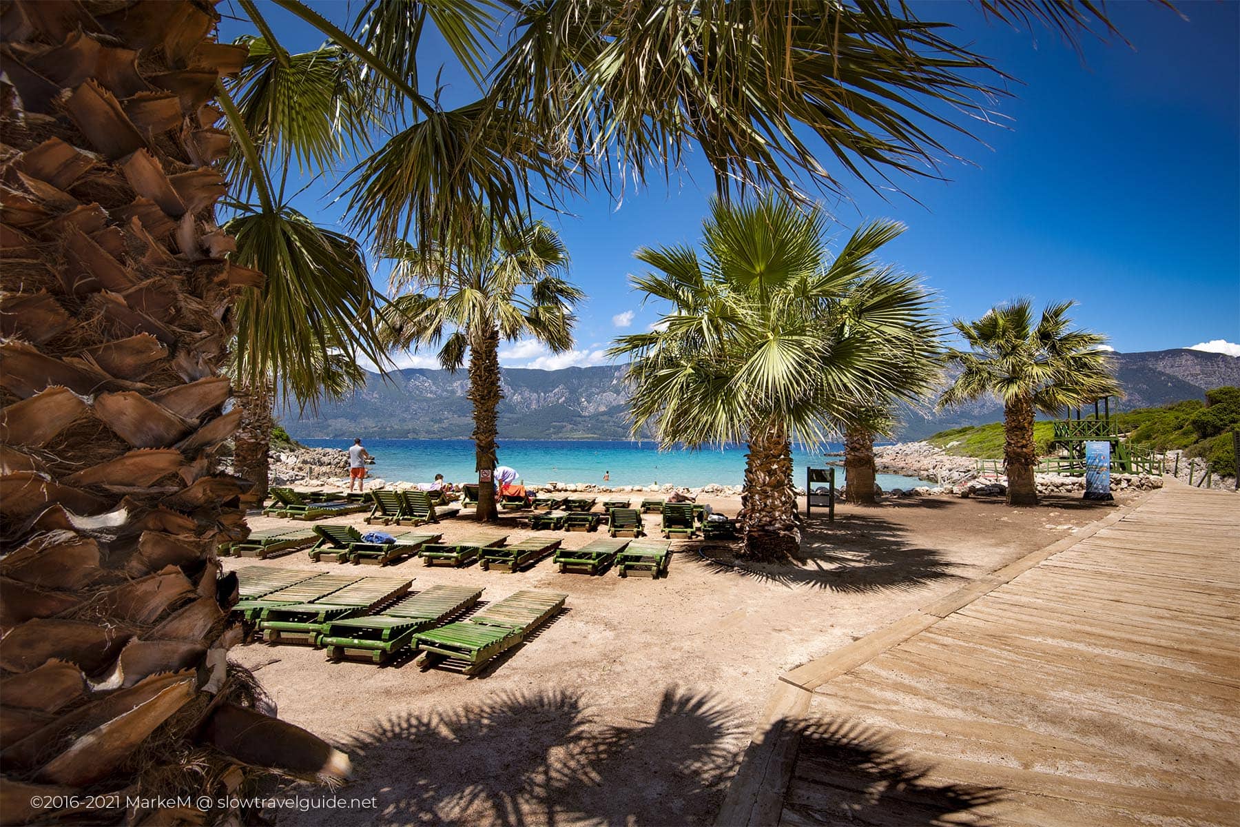
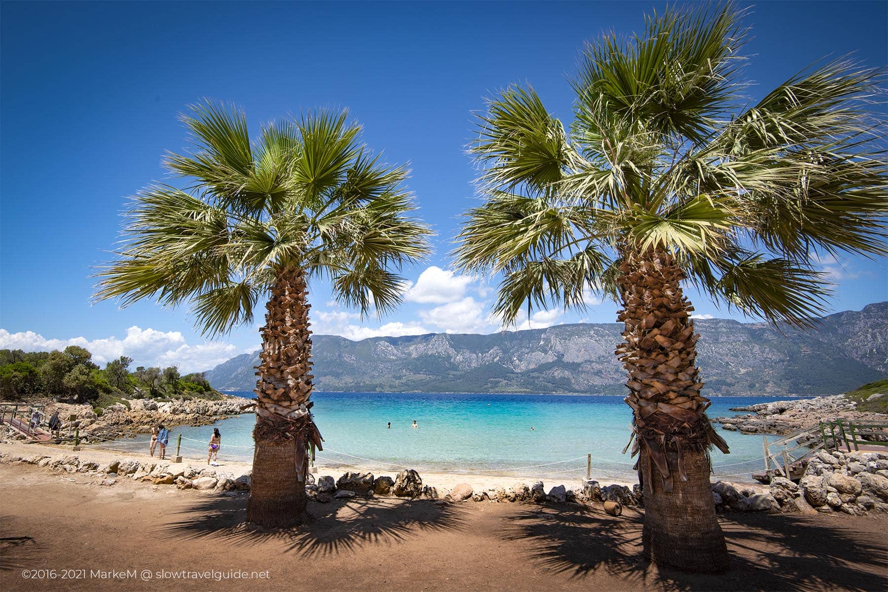
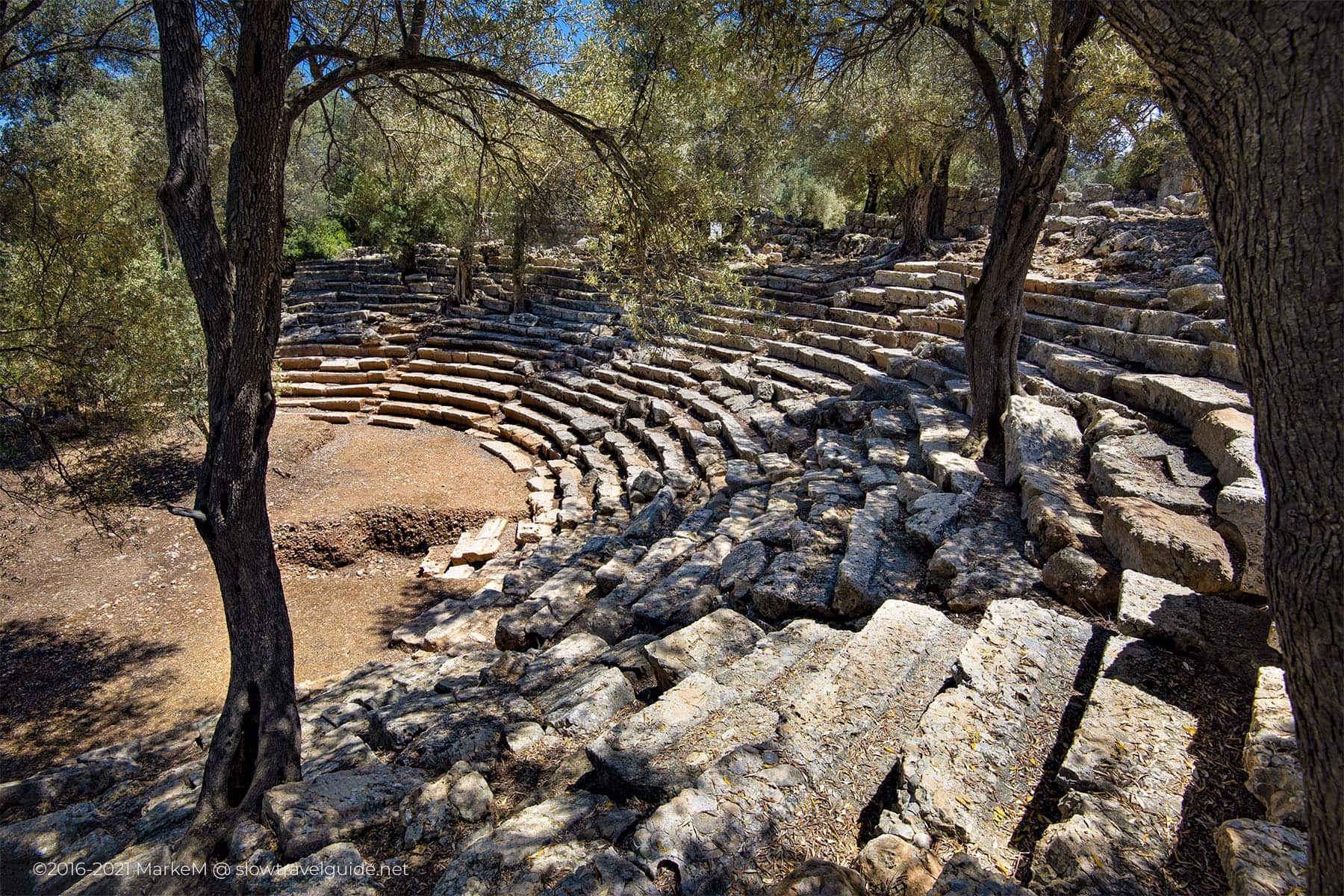
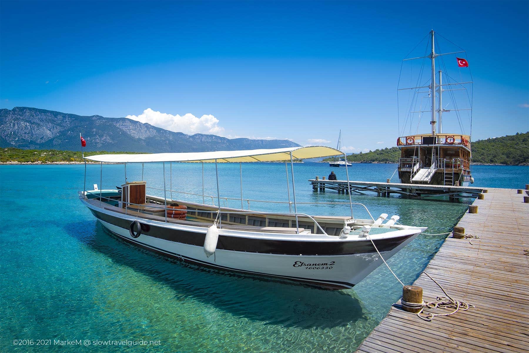
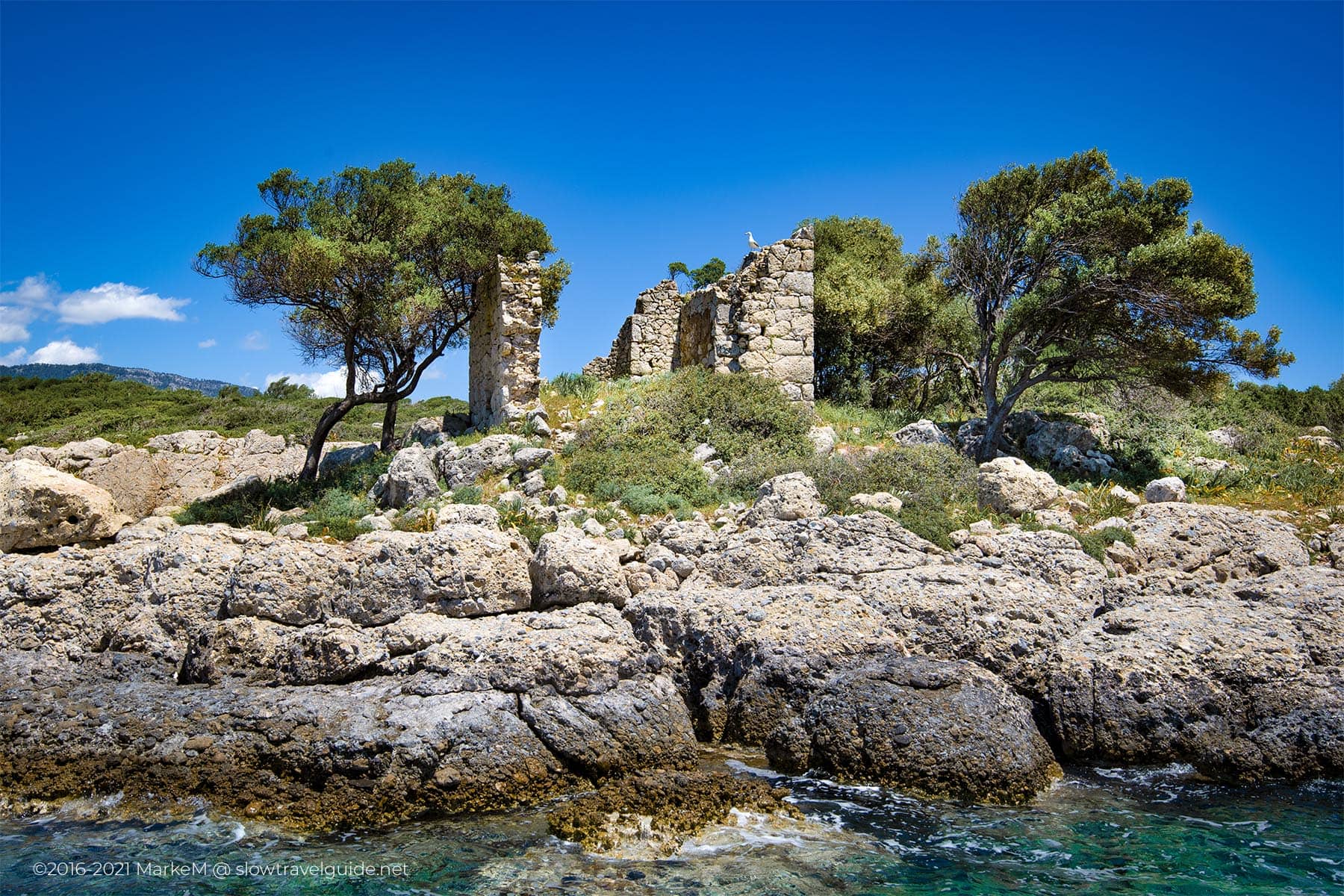
Sometimes culture and nature coexist. This is the case with Spider-Island, and a picturesque island tucked away in the Gökova Bay between Akyaka and Marmaris. Cedar Island captures the imagination with its crystal clear blue waters, white sandy beaches, lush green surroundings, quaint theatres and other remnants of the ancient city of Kedrai.
On top of that, there is a legend that Cleopatra and Anthony once swam on the island, hence the name Cleopatra Island or Cleopatra Beach. Interested? So are we!
Home To Cleopatra Beach And The Ancient Ruins Of Kedrai
Sometimes culture and nature coexist. This is the case with Spider-Island, and a picturesque island tucked away in the Gökova Bay between Akyaka and Marmaris. Cedar Island captures the imagination with its crystal clear blue waters, white sandy beaches, lush green surroundings, quaint theatres and other remnants of the ancient city of Kedrai.
On top of that, there is a legend that Cleopatra and Anthony once swam on the island, hence the name Cleopatra Island or Cleopatra Beach. Interested? So are we!
GERGA: A MYSTERY WAITING TO BE UNRAFFLED
You won’t find much information about Gerga, when you find it, most of the sources are in the Turkish language, or they repeat the same content. Nevertheless, persistence pays off. After some digging the internet, at least some of our questions about Gerga have been answered. To learn more about this interesting place, the most reliable source is the material written by the researchers who visited the site. Two of them are French, Cousin and Laumonier, and the third is British, Bean. The combination of their stories reveals some of the mysteries of this place. Gerga is described as a “Carian-Hellenistic” village, necropolis, and it may be a bit of all.
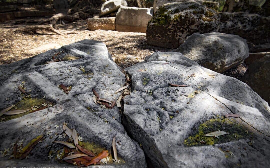
The only obvious thing about it is the relatively easy way to identify the name of the place, Gerga, as you’ll find it over 20 times, carved in the rocks and buildings. The inscriptions are mostly in Greek – or at least a version of it – and Latin, and appear as Gerga, Gergas, and Gergakome. Then again, even the name is a topic of discussion among researchers. Some believe Gerga and Leukai Stelai, mentioned in Herodotus’ texts are the same, and Gerga is the name of a God, rather than a place.
In his piece ‘Two Carian Notes’, Richard P. Harper claims that the name Gerga means “The Sanctuary of Kar”, connecting it to the nearby site of Alabanda and the myth of Alabandos, son of Kar. He is also inclined to support the theory that this place has evolved over different centuries, explaining why there are several hypotheses on the name and even different versions of the same name.
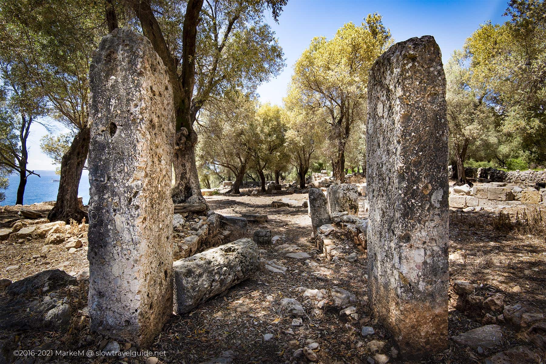
The View From In Between The Monoliths Besides The Temple Tomb Door
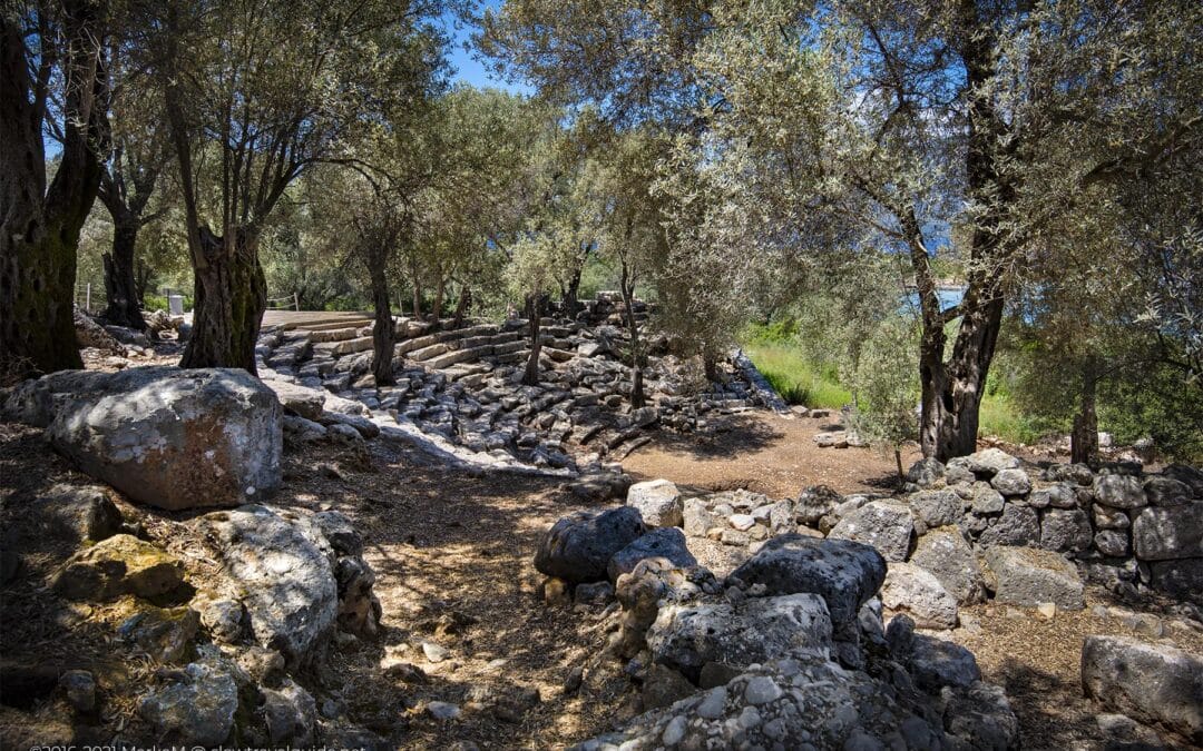
Whatever the name and the history of this place, you can’t help feeling fascinated as soon as you start walking around. As if the enigmatic atmosphere is absorbing you. Often, reading the information boards on-site is a fulfilling experience. But somehow, here in Gerga, the lack of information works well, and even enhances your senses. The setting is spectacular, as you are surrounded by almost outer-worldly boulders and structures and artifacts that spur your imagination.
The most apparent structure on-site is a small temple or temple-tomb, with the name Gergas above the entrance door. This building is entirely made out of stone, including the imitation-woodwork roof structure. The first room has an almost square plan of 4,70 x 4m. The back wall, however, is interrupted by an opening to a smaller room that extends outside and measures 2,40 x 2,80m. This niche was probably intended to house the tomb itself, with the main room acting as pronaos.
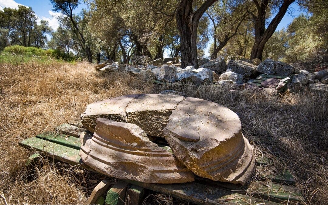
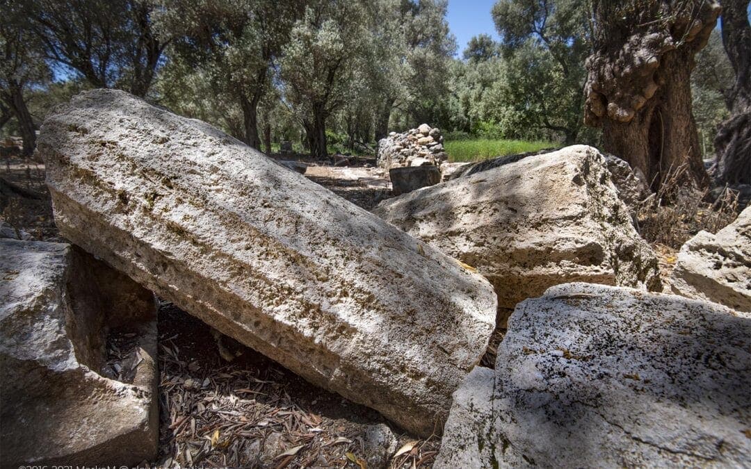
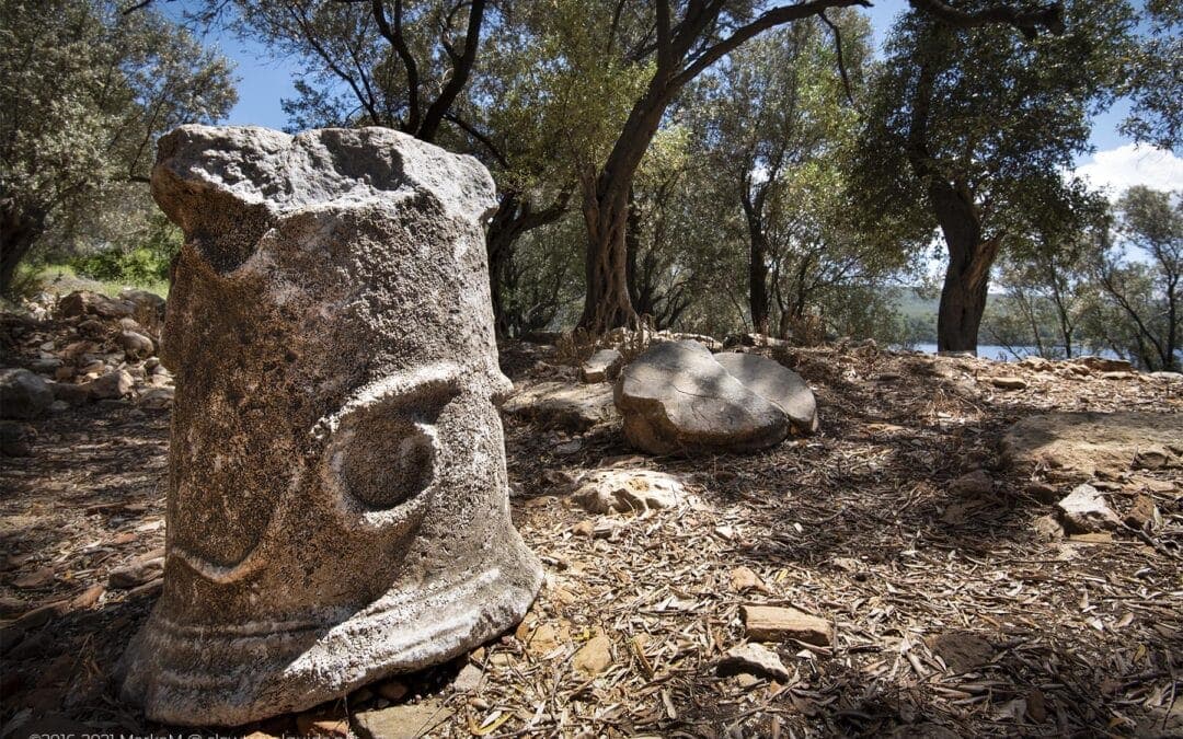
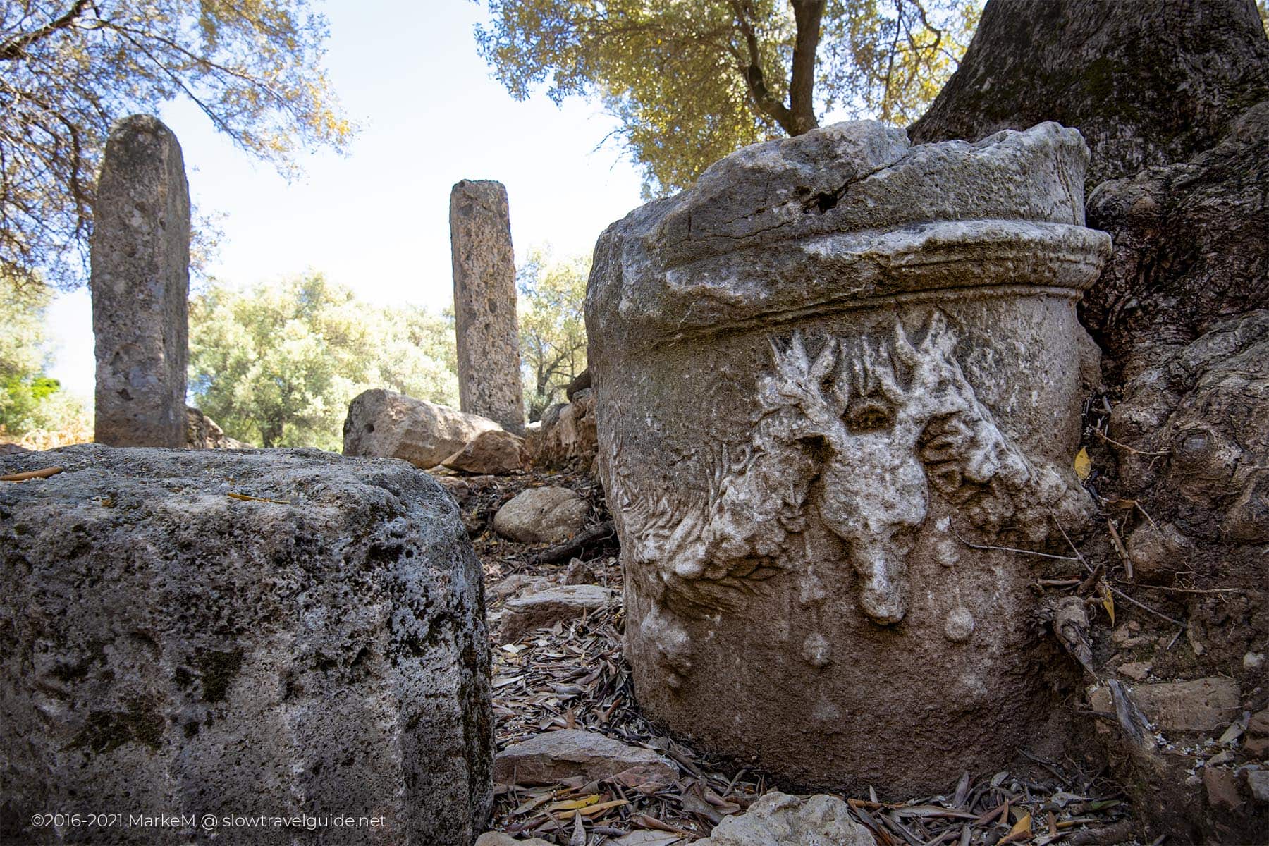
Near the temple-tomb are two pointed stelai of over 3 m high, also containing the word Gergas. In between used to stand a colossal statue, which is now overthrown. Almost right next to the second stela stands what looks like an altar. None of the sources indicate what it was used for, other than Laumonier, who assumes that “in more modern times, this bloc was used for the production of olive oil”. The original purpose remains a secret.
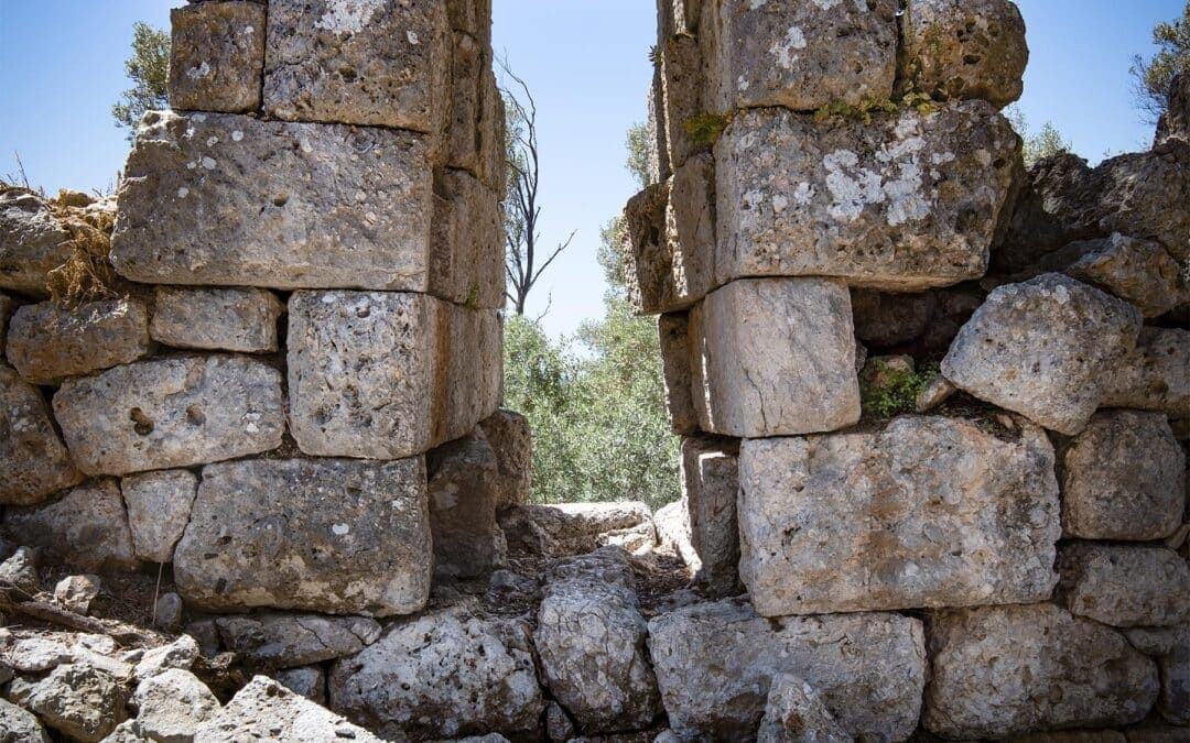
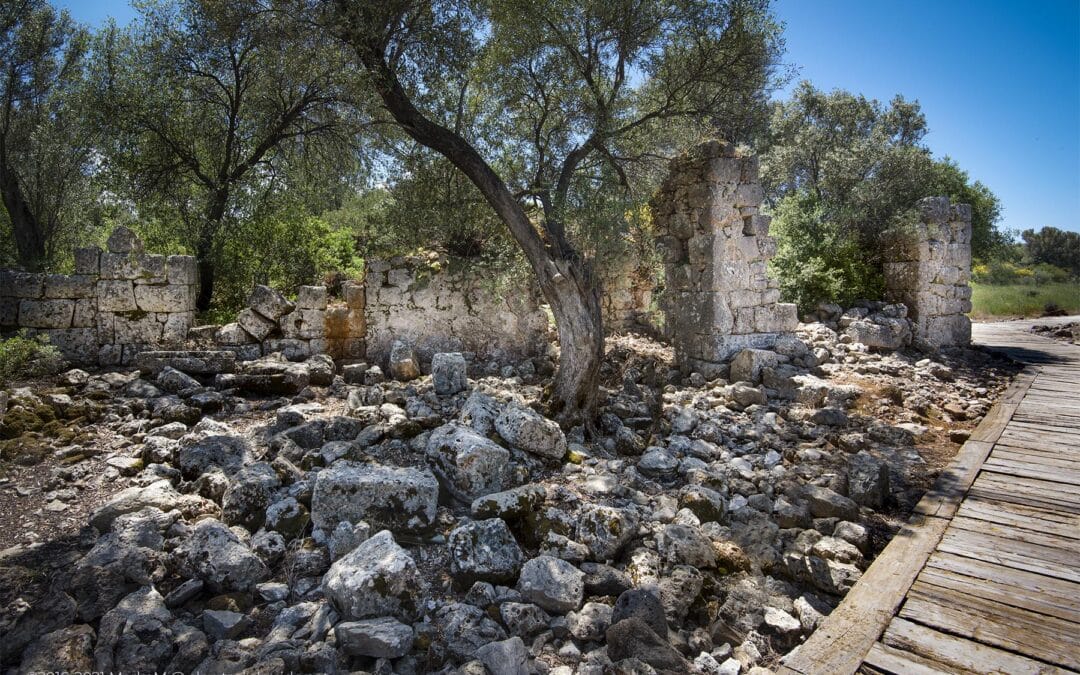
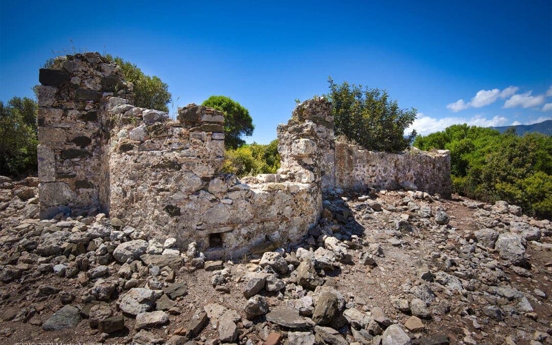
Gerga’s other famous buildings include some smaller square roof structures with open fronts that could be tombs or fountain rooms. Some of them also carry the word ‘Gerga’ and even decorative lion heads. The city’s terrace is supported by a huge wall that still stands tall. Between these two, there is only a distant view of nature, the boulders and the reservoir below.
Gerga’s other famous buildings include some smaller square roof structures with open fronts that could be tombs or fountain rooms. Some of them also carry the word ‘Gerga’ and even decorative lion heads. The city’s terrace is supported by a huge wall that still stands tall. Between these two, there is only a distant view of nature, the boulders and the reservoir below.
HOW TO GET TO GERGA
If you want to make a magical and mysterious trip to Gerga, you have to work a little bit. Part of the reason why this place is still relatively unaffected may be related to the difficulty of finding it. In theory, it is possible to drive to the location because a dirt road passes directly above it, but we firmly believe that this is not the right way to experience the charm of this place.
You need to walk to fully grasp the entire context of the area. Listen to the silence and subtle sounds of nature. Appreciate the surroundings and feel the effort that Gerga visitors must go through in returning to this extraordinary place.
We hiked from the village of Alabayır to Gerga. You can easily drive to the village from the D550 near Eski Çine and follow the signs to Gerga. Before you drive to the starting point of the walk, consider looking around the corner, just past the village, where there is an ancient Roman bridge. After that, return to the village and drive along the road leading to the mosque. Keep right before reaching the mosque. Then, drive further down in the direction of the valley and the reservoir. You will run into a dead end and have to stop.
Expect obstacles such as enclosed areas (just open the door and close it behind you), barbed wire fences, and cows on the path. There is nothing to worry about, although finding the right track can sometimes be confusing and difficult. If you don’t have a GPS to guide you to the exact location of Gerga, you may want to consider using the villager’s guidance before heading to the track. Although it wasn’t our intention, a village couple insisted their son accompany us. After about 1.5 hours and 3 kilometres, we arrived at Gerga.
The Setting Of The Hike To Gerga
The Rough Guide to Turkey features an alternative route where you approach Gerga from the Incekemer bridge near the main road connecting Muğla and Aydın, after which you’re in for a 1,5h walk uphill.
The Rough Guide to Turkey provides an alternative route. You can go to Gerga from the Incekemer Bridge near the main road connecting Mugla and Aydin, and then walk uphill for 1.5 hours.
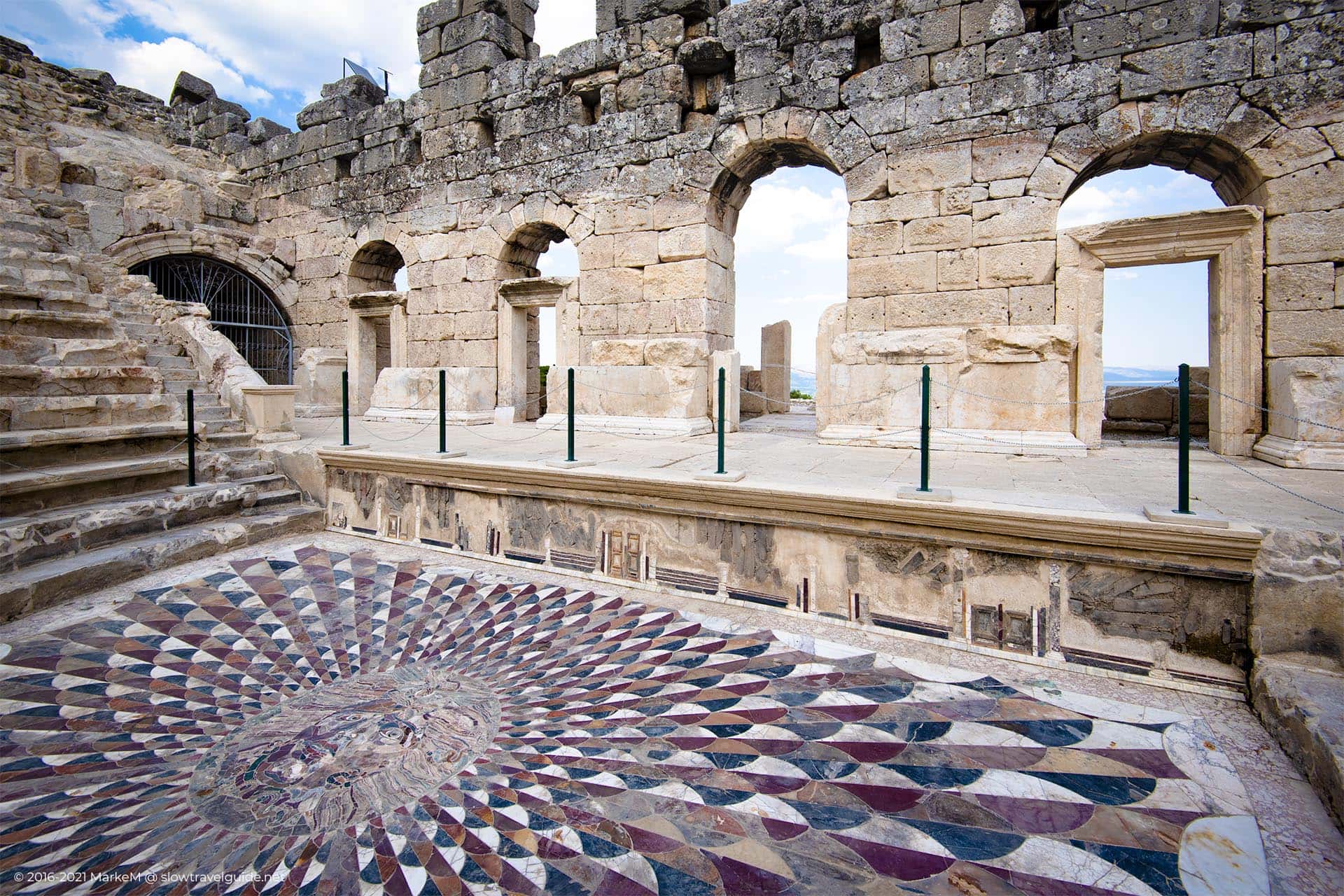
Kybira
Ancient Site
Your content goes here. Edit or remove this
text inline or in the module Content settings.
You can also style every aspect of this content
in the module Design settings and even apply custom CSS to this text in the module
Advanced settings.

Kybira
Ancient Site
Your content goes here. Edit or remove this text inline or in the module Content settings. You can also style every aspect of this content in the module Design settings and even apply custom CSS to this text in the module Advanced settings.

Kybira
Ancient Site
Your content goes here. Edit or remove this text inline or in the module Content settings. You can also style every aspect of this content in the module Design settings and even apply custom CSS to this text in the module Advanced settings.
POSTS NEARBY
-
Gökbel Valley 7.96 km
- Non-touristy Muğla? Visit Hekate in Lagina! 18.29 km
- Alabanda: countryside meets ancient site 18.88 km
- Stratonikeia, a well-kept secret in Southern Turkey 23.94 km
- Alında: tucked away in the sacred Latmos mountains 28.37 km
As we said in the introduction, this hike is not a ‘walk in the park’. Make sure you are fully prepared. Bring enough water and food, and dress accordingly.
The thing about these inaccessible places is that you won’t find any reviews about them, or at least not on TripAdvisor. Just in case you plan to explore more of Aydin Province, you may want to explore options on the subject. If you have any questions, please send us a message through our contact page or leave a comment on our Facebook page.
© 2016-2022 All rights reserved by slowtravelguide.net.
The content of this website is copyright protected and the property of slowtravelguide.net.No part of this website may be reproduced in whole or in part in any manner without the written permission of the copyright owner.
Copyright ©2016-2022 Tüm hakları saklıdır. Bu (slowtravelguide.net.) web sitesinin içeriği koruma altındadır ve slowtravelguide.net.Buradaki hiçbir içerik (yazı,fotoğraf,video vb.) izinsiz olarak kopyalanamaz, alıntı yapılamaz,başka yerde yayınlanamaz.

